


Richmond, Va. – Southside ReLeaf and the University of Richmond (U of R) have joined forces for a new initiative aimed at mapping the city’s flood-prone areas. The “Go with the Flo” project, which launched on March 20 and will run through September 1, seeks to fill a significant gap in the city’s flood data.
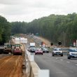
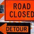
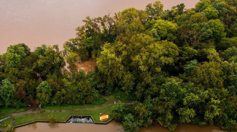
Richmond has long struggled with flooding, but until now, there has been limited data on the specifics of how often and where these floods occur. The lack of detailed information has made it challenging for city planners and residents to prepare for and mitigate the effects of these natural disasters. To address this, the project invites Richmonders to participate in a participatory mapping effort by completing a brief survey each time it rains.
The initiative’s goal is to create a more accurate and detailed map of flood-prone areas, which will be used by U of R students to support their research and help the community better understand flood risks. While the project is particularly focused on Southside Richmond, it encourages all residents across the city to contribute. The more data collected, the more precise the resulting flood map will be.
“We believe that a collaborative, community-driven approach will give us the most accurate picture of where flooding occurs in Richmond,” said a spokesperson from Southside ReLeaf. “By gathering this data, we can help Richmond become better prepared and more resilient when it comes to flood management.”
Residents are encouraged to take part in this effort throughout the duration of the project, which runs until September. By simply completing the online survey after each rainfall, individuals can provide valuable insights into the flooding patterns of their neighborhoods. The data collected will ultimately help shape future flood mitigation plans, such as improving infrastructure and zoning practices.
With Richmond’s growing population and the ongoing challenges of climate change, efforts like the “Go with the Flo” project are critical in building a safer and more resilient community. As the project progresses, it is expected that the flood map will become an essential tool for both residents and city officials, aiding in everything from emergency response planning to long-term infrastructure development.
The “Go with the Flo” project represents a key step toward empowering Richmond’s residents to play an active role in addressing a pressing issue. For more information and to participate in the project, residents can visit the official website or follow the latest updates from Southside ReLeaf and the University of Richmond.